
From
Innsbruck to Brixen and through the Dolomites to San Martino di Castrozza

Stage 10 -
Plosehütte to Schlüterhütte
|
From
Innsbruck to Brixen and through the Dolomites to San Martino di Castrozza |
|
Stage 10 -
Plosehütte to Schlüterhütte |
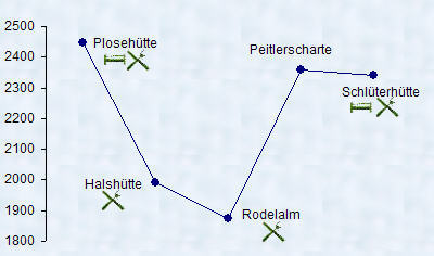 |
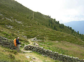
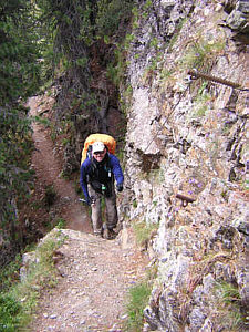
An medium difficulty 5 hour hike, some short sections are narrow and have cables like handrails, along the side. A little scrambling required on the climb to Peitlerscharte, trail is well marked. |  |
 |
 |
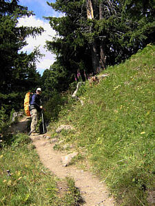 |
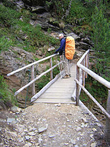
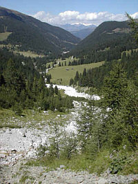
| Thick fog greeted us this morning. After waiting awhile we set out despite the mist. As soon as we had descended about 100 meters, we were below the clouds and soon enjoyed bright sunshine. The short cable sections we encountered here and there mostly served as decoration and remained unused by us. A bridge had replaced a scrambling section through a gully. | ||
 |
 |
Before long we reached the Halslalm, a lunch station with pretty views of the valley. The Kofeljoch (Passo Rodella) seperates the Plose from the Peitlerkofel mountains. This is also where the Puez - Odler National Park starts. |
 |
 |
 |
 |
 |
 |
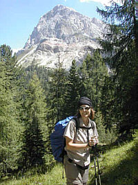
After a short section through the Rodelwald
forest, we could see the Peitlerscharte up ahead. Even though it's only
about 500 meters elevation change, the climb up in never-ending serpentines
seemed relentless. Temperatures remained cool throughout the afternoon,
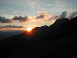
I was glad I had brought my warm hat. After reaching the Peitlerscharte,
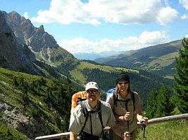
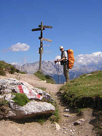
the path leveled out and incredible panoramic views tempted us to stop several
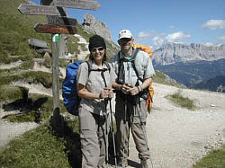
times. The Schlüterhütte ultimately appeared in front of us, once we got there we were glad we had called ahead for reservations as the dining rooms were packed. We shared a table with Ralf, a friendly man from Bozen who was also hiking the Alta Via II for a few days. |
| top |