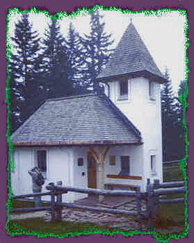
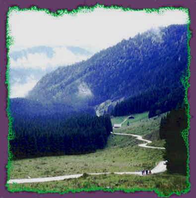
Kühroint Alm
Strenuous hike of about 18 km (elevation change about 3000 feet) to the Kührointalm.
|
|
Kühroint Alm |
|
||
|
Strenuous hike of about 18 km (elevation change about 3000 feet) to the Kührointalm. |
||||
|
|
||||
|
|
||||
|
|
||||
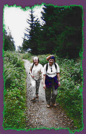 |
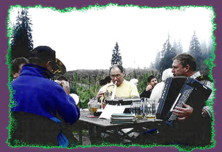
This Alm hut is located on Archenkopf in the shade of the Watzmann mountain. A group of locals had decided to serenade todays hikers with traditional music and we listened while having lunch. After lunch we stopped in the chapel and looked over the copper tablets with names of people who have perished in these mountains. The records go as far back as 1765, and include details of each accident. |
 |
 |
|
|
|
 |
|
|
|
|
|
|
|